Spatial database
Design layers, objects, attributes and metadata.
 Consortiumof digital technologies
02 / Consortium expertise
We develop GIS as an operational environment where maps connect to registers, documents, infrastructure attributes and workflows. Systems can cover land, property, planning, addresses, utilities, safety, investment and open data. Official references confirm founder-company delivery for communities and utilities.
Who it is for
We work with territorial communities, government authorities, municipal utilities, engineering organisations and responsible businesses.
We adapt the solution to real data, regulations, resources and client-team responsibilities. Delivery covers audit, requirements, design, implementation, training and support.
Scope
Modules are refined after reviewing source data and project goals.
Design layers, objects, attributes and metadata.
Connect mapped assets with records and change history.
Provide internal workspaces and public services.
Enable mobile capture of coordinates, photos and condition.
Exchange data with cadastres, registers and analytics.
Document the solution and train the client team.
Outcomes
How we work
The approach is adapted to the client’s data, infrastructure and responsibilities.
A useful GIS contains data-maintenance rules, reference lists, identifiers, documents, change history and permissions. The map is an interface to this structure. Users locate a parcel, building, network or address, inspect related records and perform authorised actions. This distinguishes an operational municipal GIS from a static layer collection or presentation web map.
Before development, we define thematic datasets, sources, accuracy, owners and update cycles. Objects from different registers are connected through stable identifiers rather than names or coordinates alone. Where required, GIS exchanges data with cadastres, document systems, engineering models, analytics and field applications, reducing duplication and maintaining consistency.
Internal users may edit data, attach documents, create selections and control workflows. Residents, investors and partners receive only approved information through a separate public interface. The client controls published layers, detail and terms of use. This combines transparency with security and protection of operational information.
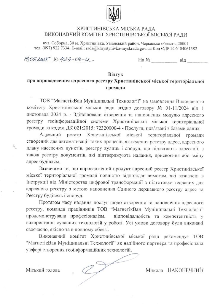
The website includes official materials on GIS for Khrystynivka and Kamianets-Podilskyi communities, the Makariv address register and the Uzh River flood-zone geoportal, all attributed to MagneticOne Municipal Technologies. References concerning Hydra WS, Uzhhorod, Nikopol and Novodonetske confirm Ekolas experience with GIS and calculation systems for utility networks.
Related projects
Each case states whether the experience belongs to the consortium or a specific founder company.
 Experience of MagneticOne Municipal Technologies LLC
A system for working with the community’s spatial data.
View project →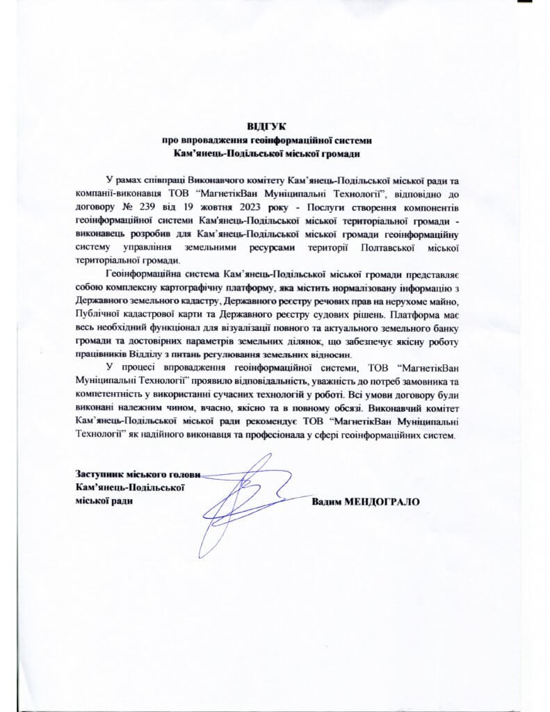 Experience of MagneticOne Municipal Technologies LLC
Municipal management of territory and related data.
View project →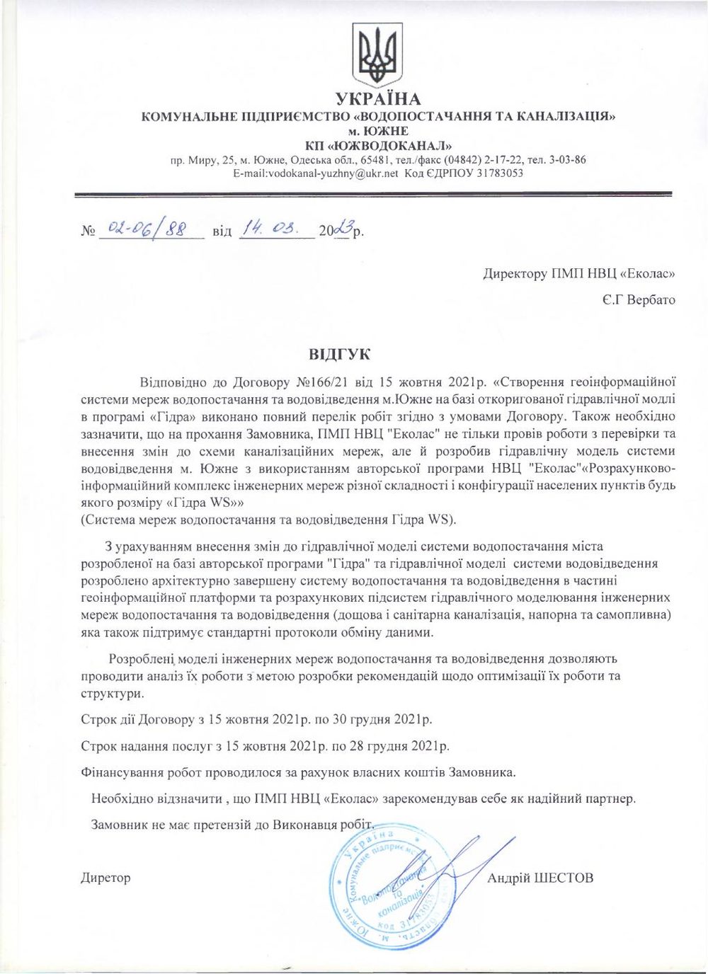 Experience of Ekolas Research and Production Centre
A geoinformation platform and network models based on Hydra WS.
View project →Documented evidence
Scanned letters open in their original form.
Official letter concerning implementation of a geographic information system.
Open document ↗MagneticOne Municipal Technologies LLCOfficial document concerning implementation of a municipal GIS.
Open document ↗Ekolas Research and Production CentreReference concerning an engineering-network GIS and the Hydra WS software suite.
Open document ↗Practical questions
Land, property, planning, addresses, utilities, public realm, safety, investment and other registers required by the client.
The web interface is responsive, while dedicated forms can support field collection and data verification.
The client defines roles; we configure permissions, procedures, training and support to keep the system current.
GIS implementation can start with the register or workflow where staff lose the most time searching and reconciling information. The audit identifies sources, coordinate quality, documents, permissions and update responsibilities. A core data model and working prototype are created using real assets, allowing the client to test search, editing, maps, documents and reports before expansion. Further modules use the same compatible foundation, so land, property, addresses, utilities, planning and public services do not become another set of disconnected applications. This staged approach combines early value with sustainable architecture.
IT OTG
Describe the context, expected outcome and timing. We will assemble the right team and propose the next step.
Discuss a project↗