BIM for reconstruction
Information models for damaged and new buildings, engineering structures and infrastructure.
 Consortiumof digital technologies
03 / Projects
Our work builds on the founders’ delivery experience and proven practices from implemented projects.
Ukraine’s recovery
The consortium brings together the team, technology and delivery experience needed for the full recovery cycle — from surveying and digitally recording asset condition to design, system implementation and client-team training.
Information models for damaged and new buildings, engineering structures and infrastructure.
Inventory, hydraulic modelling and modernisation projects for water and wastewater systems.
Geoportals, urban planning cadastres, address registers and integrated spatial databases.
Situation centres, risk maps, critical infrastructure monitoring and response support.
Digital tracking of assets, plans, funding, delivery stages and recovery outcomes.
Survey, requirements, design, hardware, software, design supervision and team training.
Ready for delivery
An integrated project for communities and utilities under current Order No. 986, from source data to an approved programme of measures.
Inventory of networks, assets, operating modes, demand and source-data quality.
Baseline, future and emergency scenarios for water supply and wastewater systems.
Pump-station power loss, damage, wartime threats and minimum supply for critical users.
Modelling contaminant spread, monitoring points, early warning and network isolation.
Optimising pumping regimes, losses, resource use and environmental impact.
Priorities, phases and costs suitable for budgets, loans or grant funding.
Downloadable materials
Original PowerPoint presentations. The available decks are currently in Ukrainian.
Strategy, expertise and consortium readiness for integrated projects.
Download presentation ↓PowerPoint · 13 MBDigital recovery of data, networks and water-supply operations after damage.
Download presentation ↓PowerPoint · 13 MBHydraulic modelling, spatial data and BIM for infrastructure recovery.
Download presentation ↓PowerPoint · 6.1 MBSanitary and stormwater systems, calculation models and development scenarios.
Download presentation ↓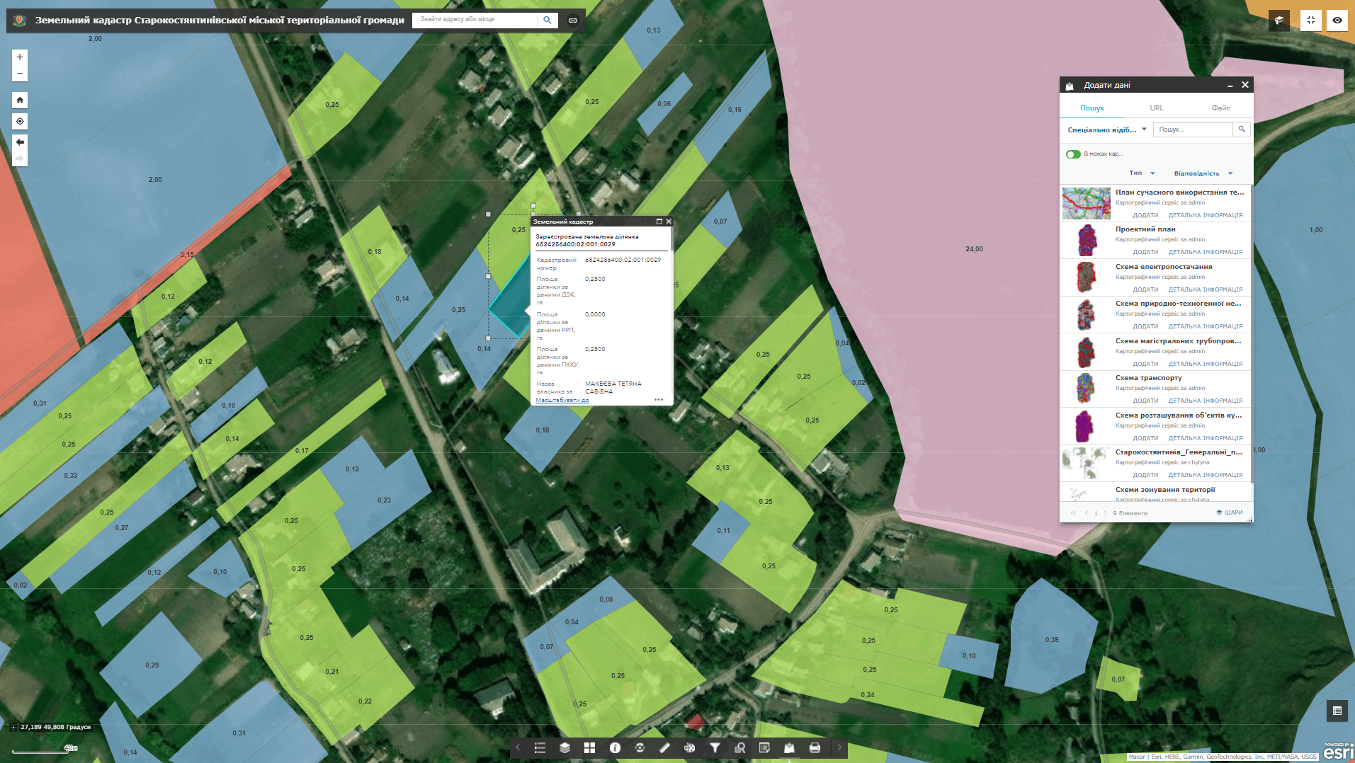 Communities
Land, property, planning and infrastructure management in a single environment.
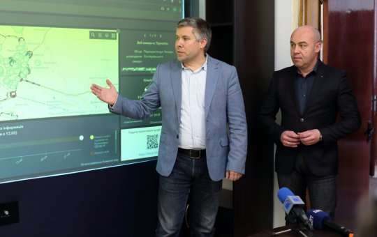 Cities
Integrated event and indicator display for operational city management.
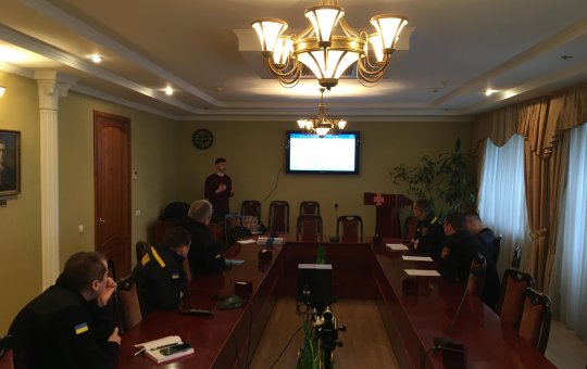 Safety
Spatial risk monitoring and coordination support for response services.
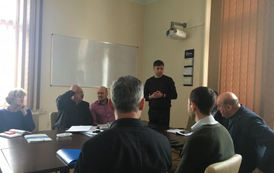 Regions
Public and internal access to current urban planning documentation.
InfrastructureInventory, records and analysis of water, lighting, heating and gas networks.
ServicesAddress registers, investment maps, tourism and education geoservices.
Officially confirmed
These projects were delivered by the consortium or its co-founding companies. Every case identifies the responsible organisation and links to the client’s official document.
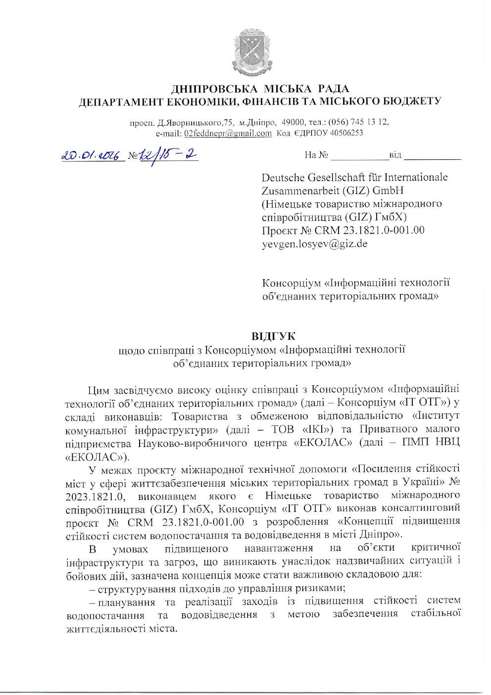 Open reference ↗01
Delivery experience confirmed in 2025 by the Department of Economy, Finance and City Budget of Dnipro City Council.
IT OTG Consortium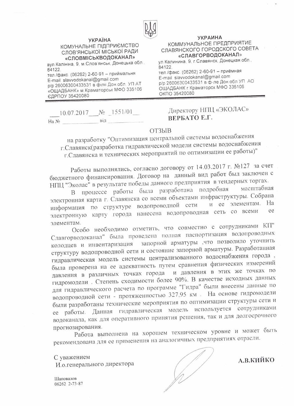 Open reference ↗02
Solutions developed to optimise the city’s centralised water supply system.
Ekolas Research and Production Centre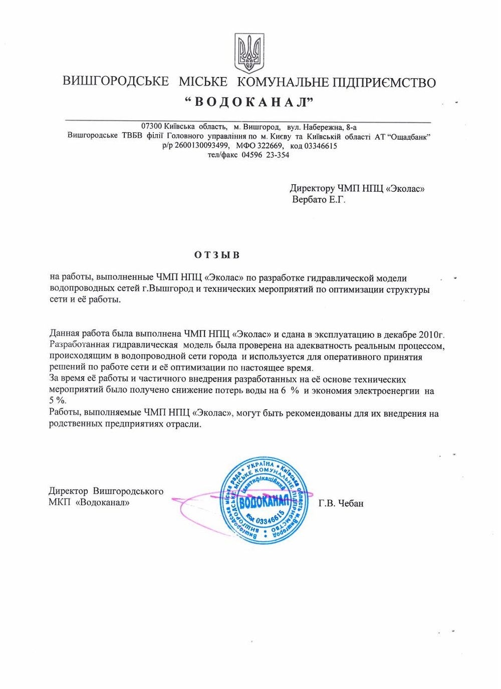 Open reference ↗03
A hydraulic model of the water network for operational analysis and development planning.
Ekolas Research and Production Centre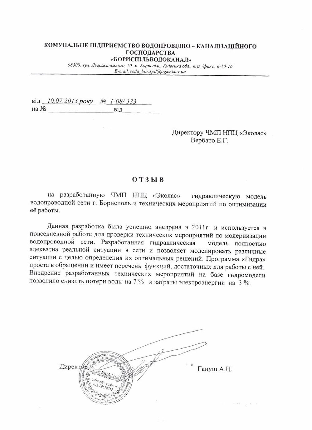 Open reference ↗04
Water network modelling and recommendations for optimising its operation.
Ekolas Research and Production Centre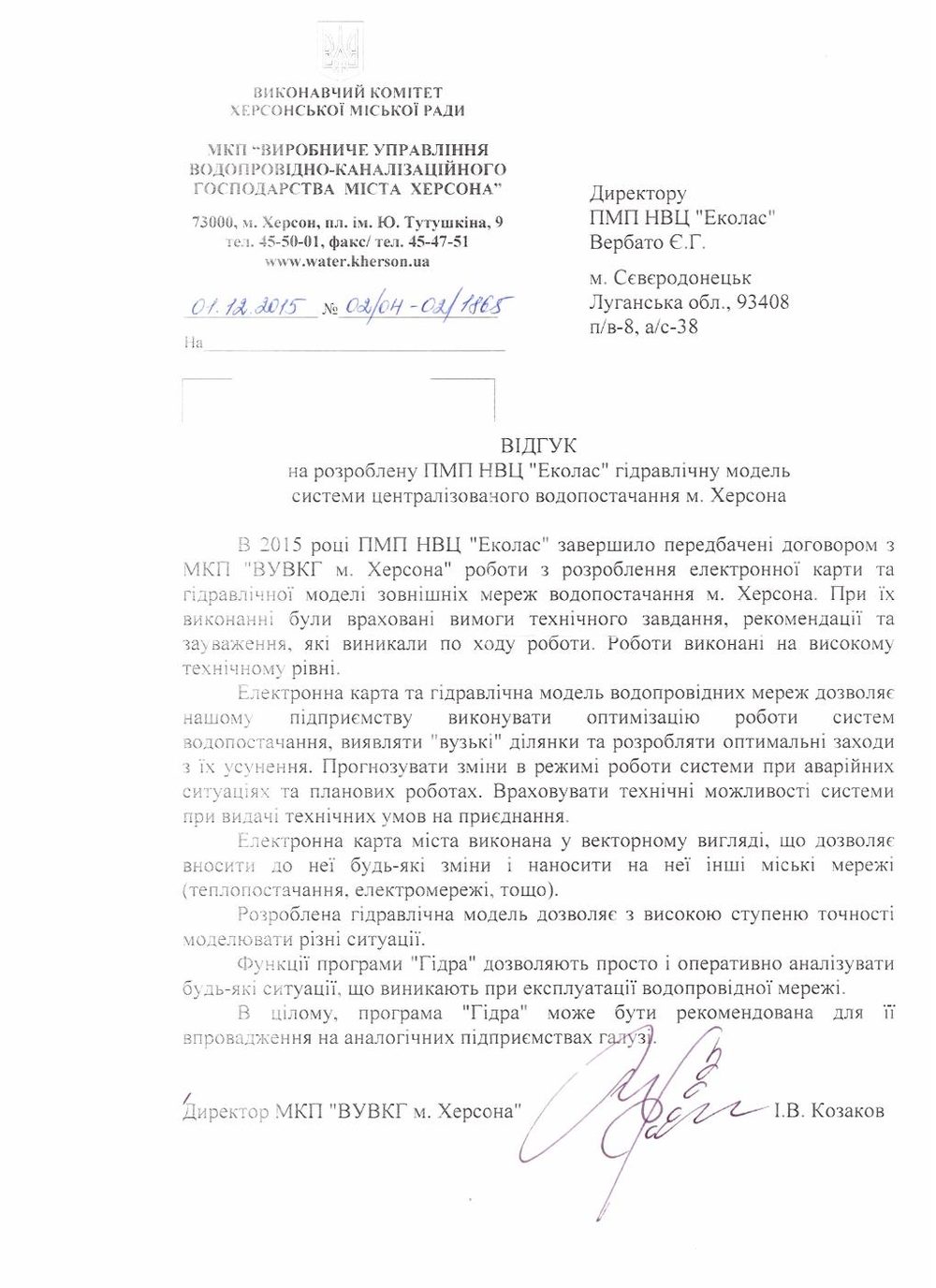 Open reference ↗05
A hydraulic model of the city’s centralised water supply system for engineering analysis.
Ekolas Research and Production Centre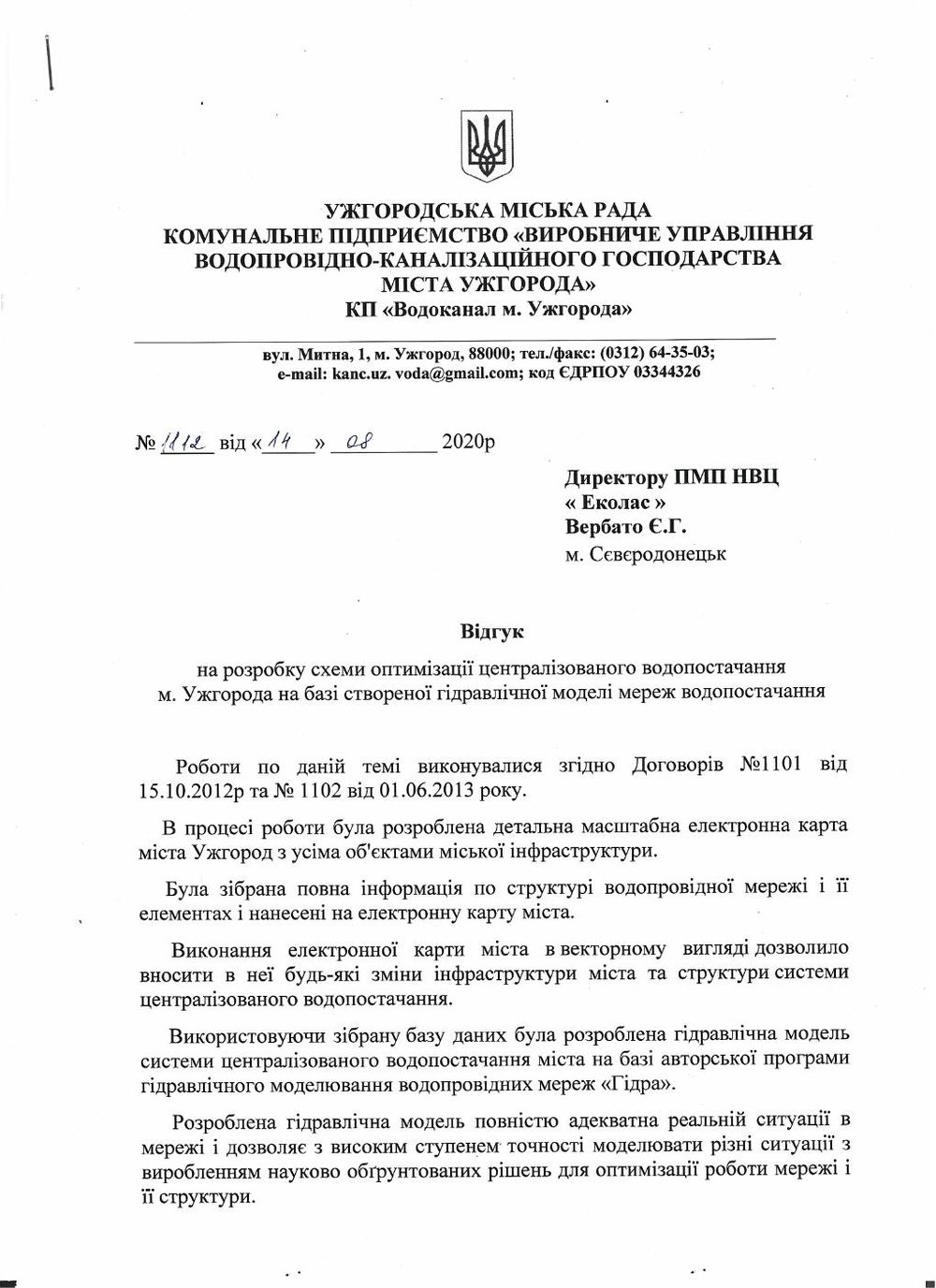 Open reference ↗06
A centralised water supply optimisation scheme and geographic information system based on the Hydra software suite.
Ekolas Research and Production Centre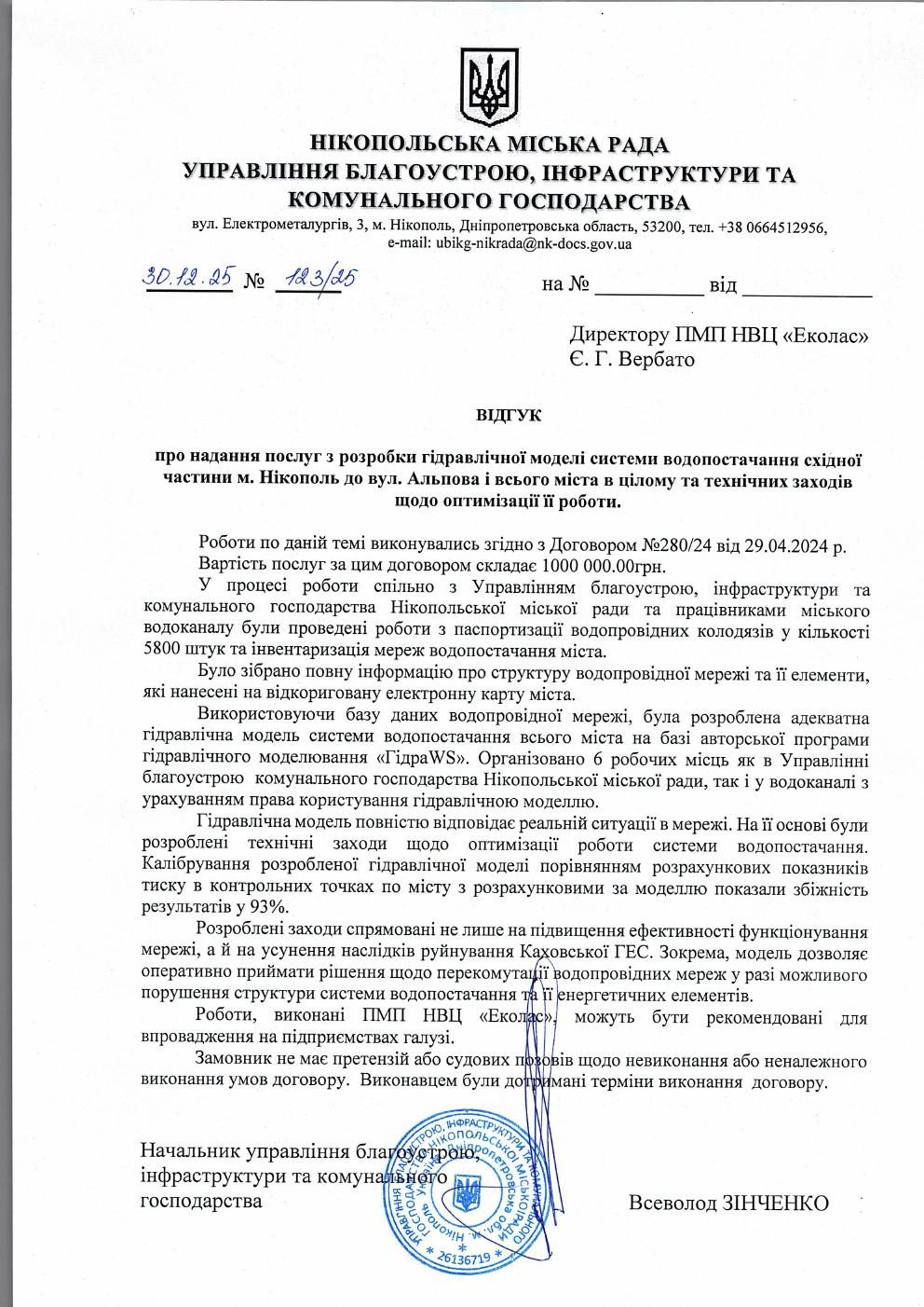 Open reference ↗07
A hydraulic model of the water supply system for evaluating network operating modes.
Ekolas Research and Production Centre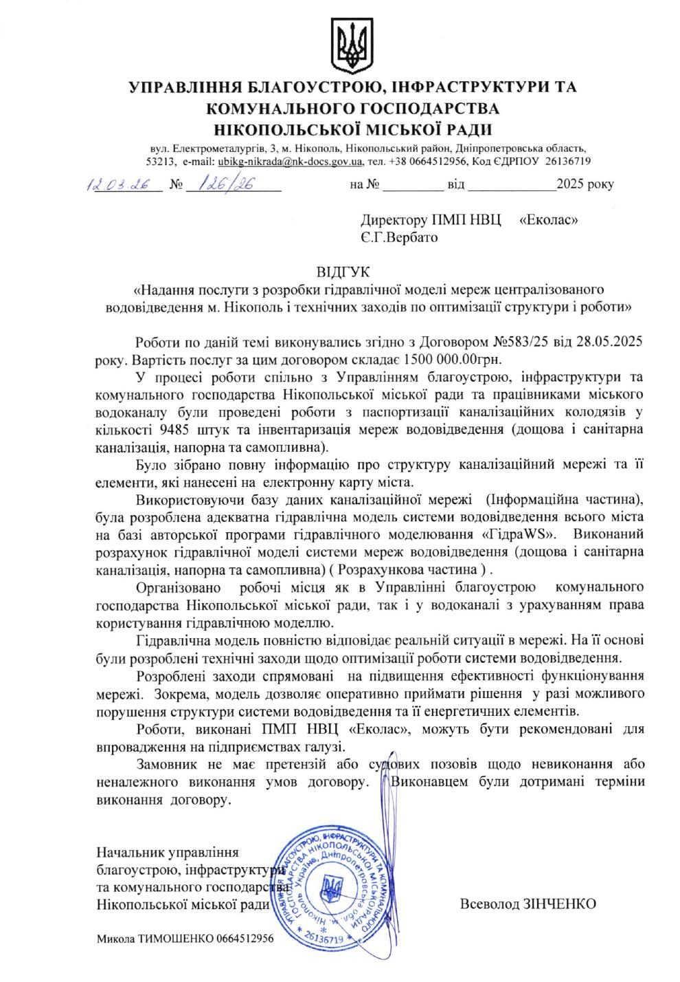 Open reference ↗08
Surveying 9,485 sewer manholes, network inventory and a hydraulic model of the municipal wastewater system.
Ekolas Research and Production Centre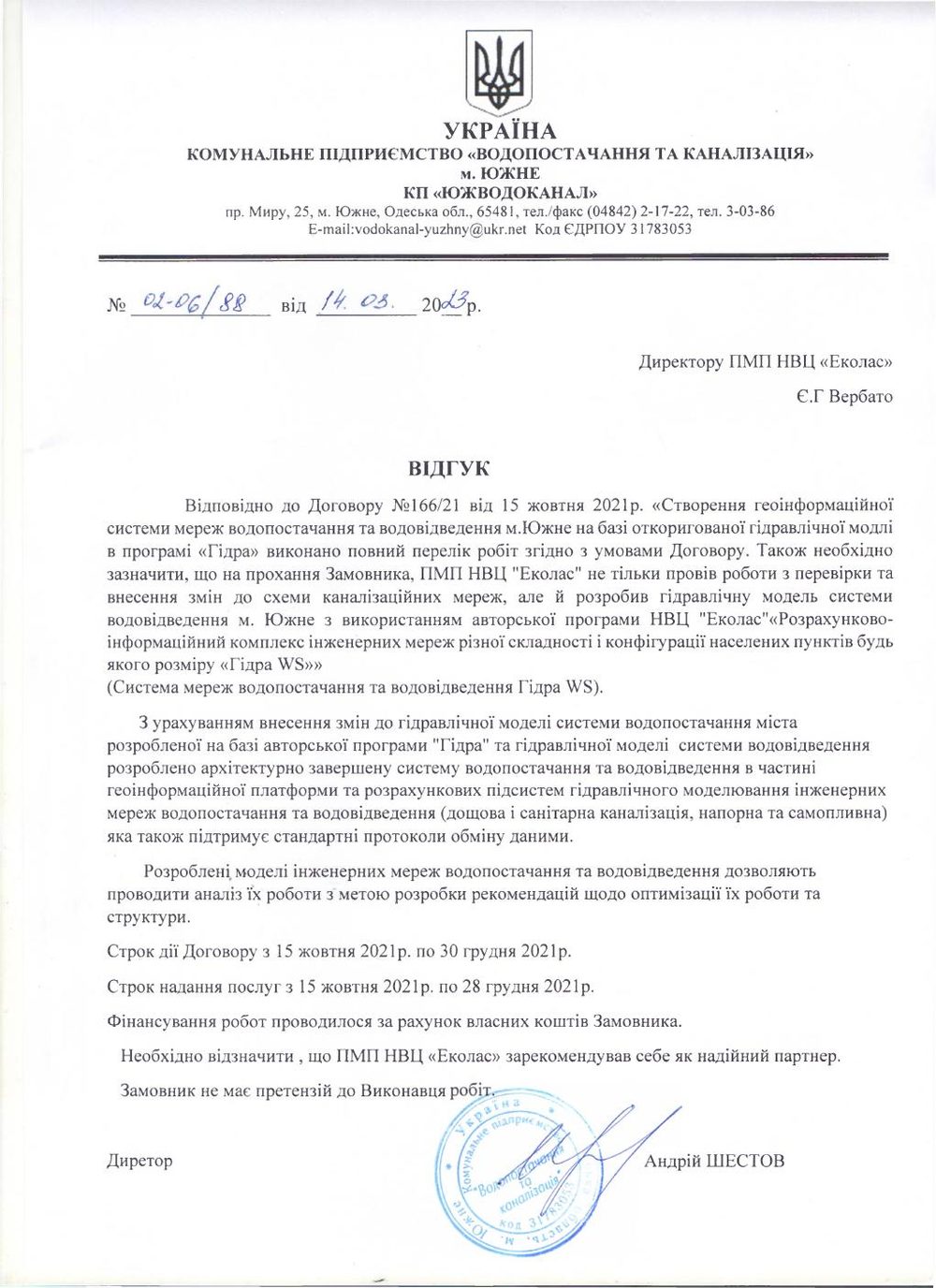 Open reference ↗09
A geoinformation platform and hydraulic water and wastewater models based on the Hydra WS software suite.
Ekolas Research and Production Centre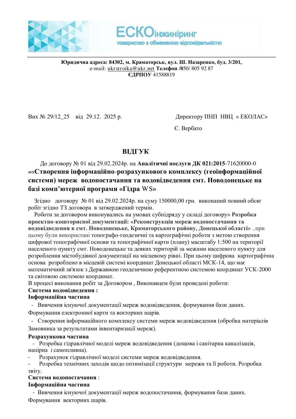 Open reference ↗10
A water and wastewater information and calculation suite, digital topographic base and hydraulic modelling.
Ekolas Research and Production Centre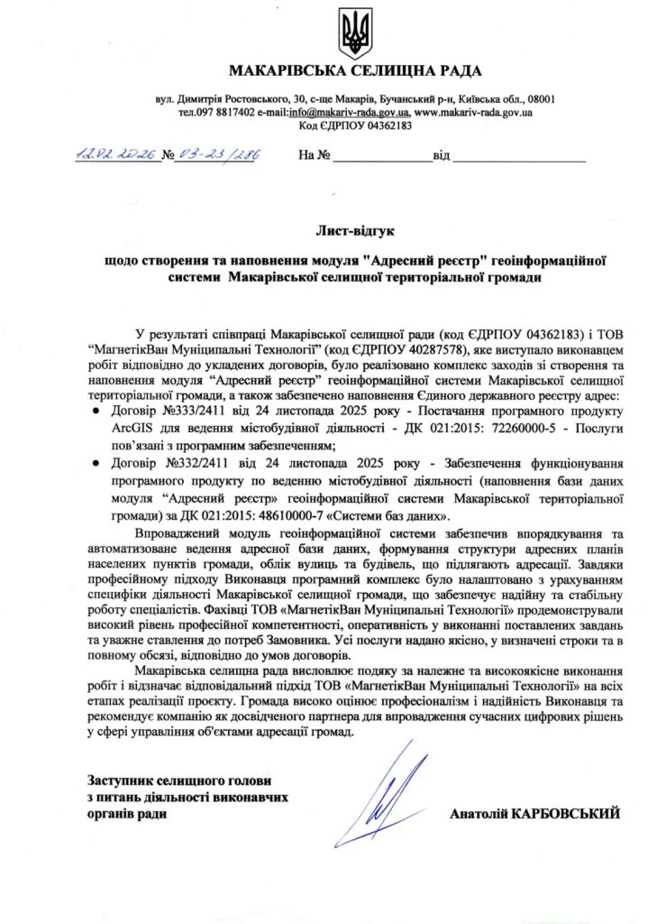 Open reference ↗11
A digital address register for maintaining and using current community data.
MagneticOne Municipal Technologies LLC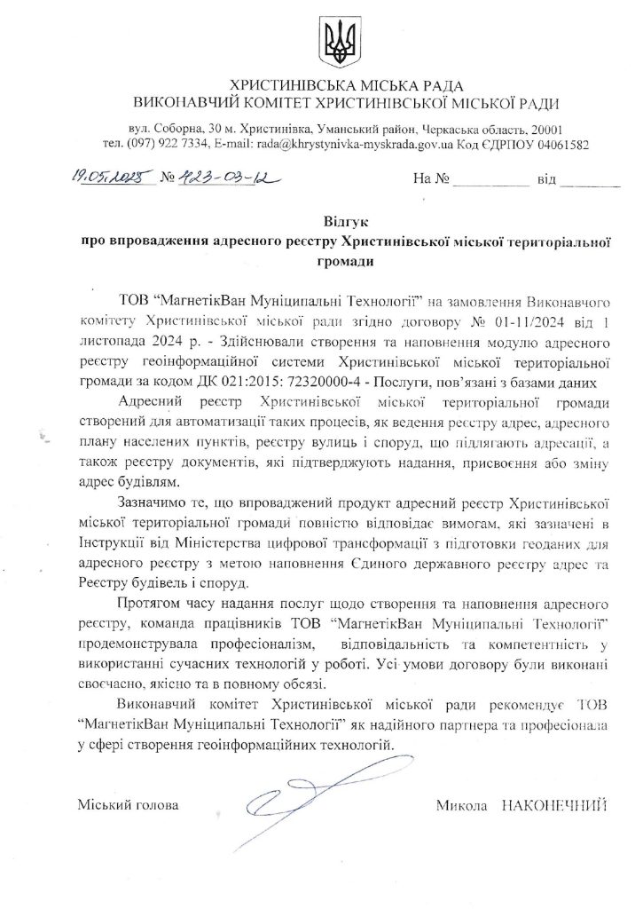 Open reference ↗12
A geographic information system for working with the community’s spatial data.
MagneticOne Municipal Technologies LLC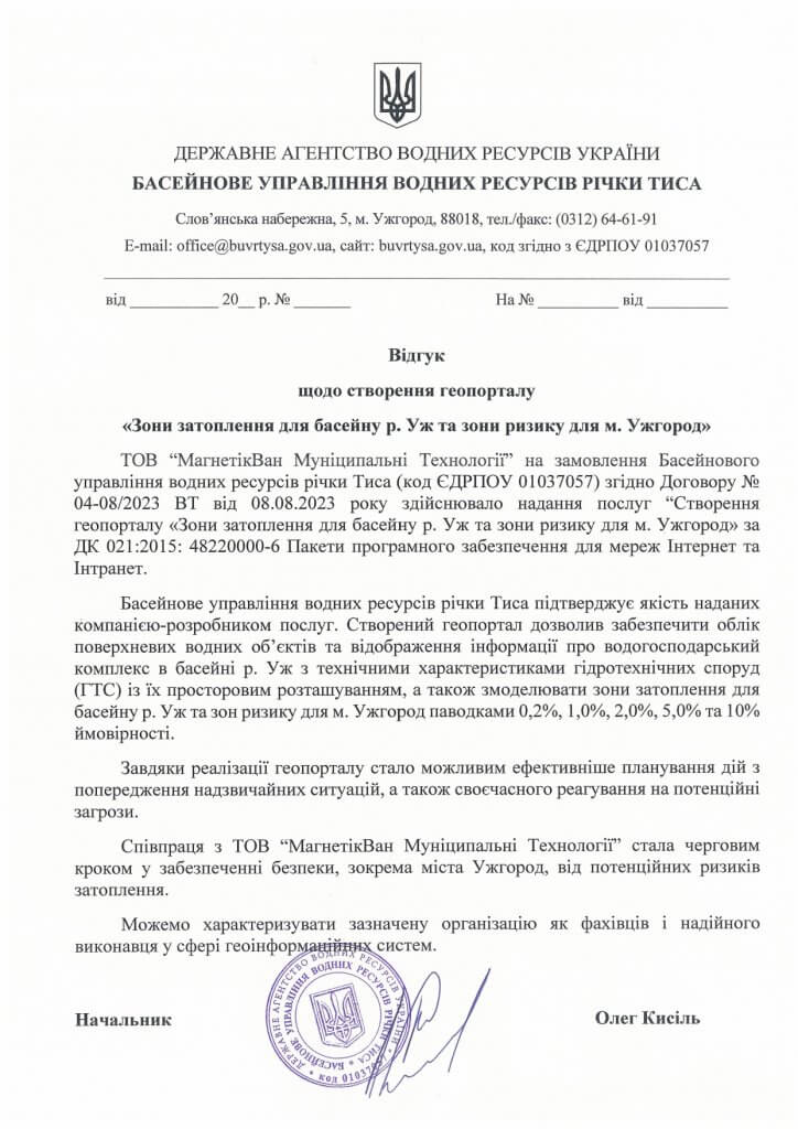 Open reference ↗13
A digital geoportal of flood and risk zones for the Uzh River basin and the city of Uzhhorod.
MagneticOne Municipal Technologies LLC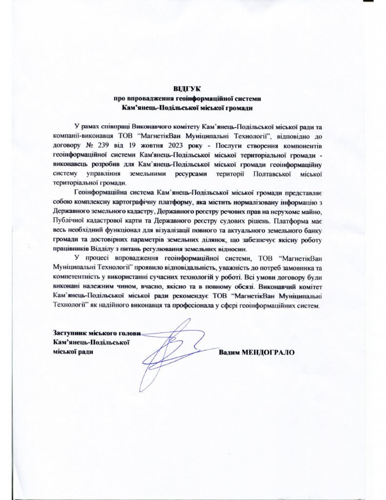 Open reference ↗14
A geographic information system for municipal territory and data management.
MagneticOne Municipal Technologies LLCIT OTG
Describe the context, expected outcome and timing. We will assemble the right team and propose the next step.
Discuss a project↗